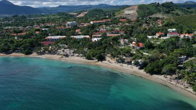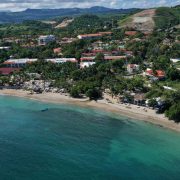

Cofresi maps are pretty useful, and even through finding Cofresi Beach is easy these days, if you ever need to download a map in case you’re not connected to WiFi, here you can find some great options. Because of the high level of inquiries on this page asking for information on the Cofresi Resorts, we also include the map for Lifestyles.
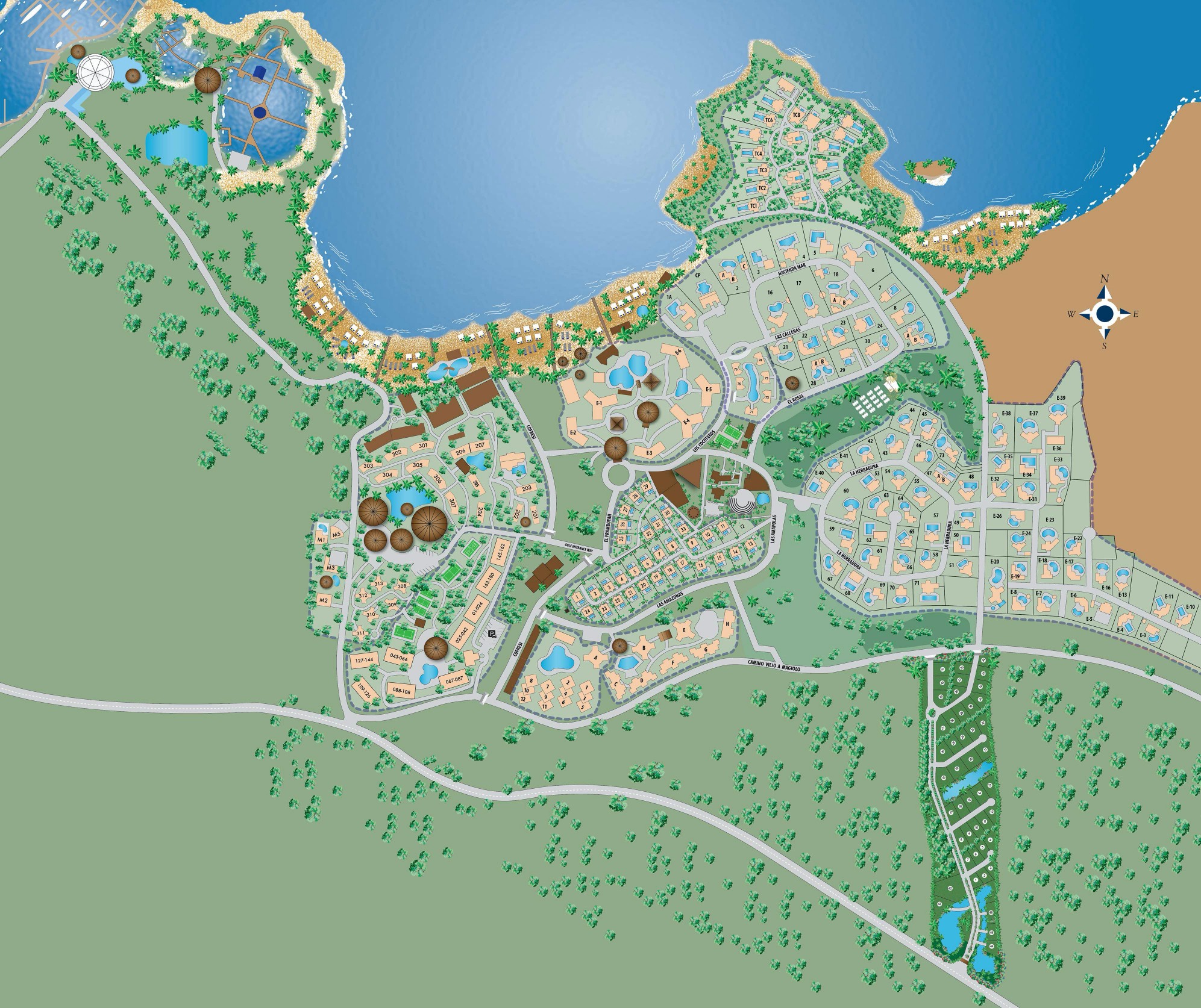
The Lifestyles Map is interactive, click the image to view it.
How To Get To Cofresi:
When driving from Puerto Plata, just head West on the main highway ( Avenida Manolo Tavarez Justo) past Costambar; there is an overpass right at the entrance, do not go over, but stay on the right side lane and you will find the entrance to Cofresi Beach and the resorts area.
Google Maps:
If you are coming from Santiago just take the same highway to Puerto Plata and make a left turn at the overpass right at the entrance to Cofresi, past maimon and Imbert. You can’t miss it because it is the first town after the Amber Cove and Maimon area.
If you are not driving then take a taxi, show them this page or just take the Caribe Tours or Metro Bus from Santiago, Santo Domingo or any other areas they service:
https://www.metroserviciosturisticos.com/

Caribe Tours and Metro Buses are available in major cities.
Map Carta
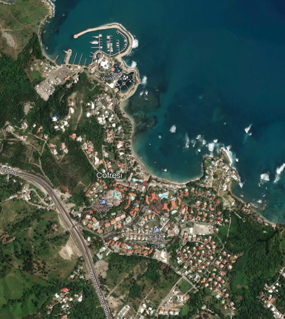
Click to view the interactive Cofresi Map.